Europe

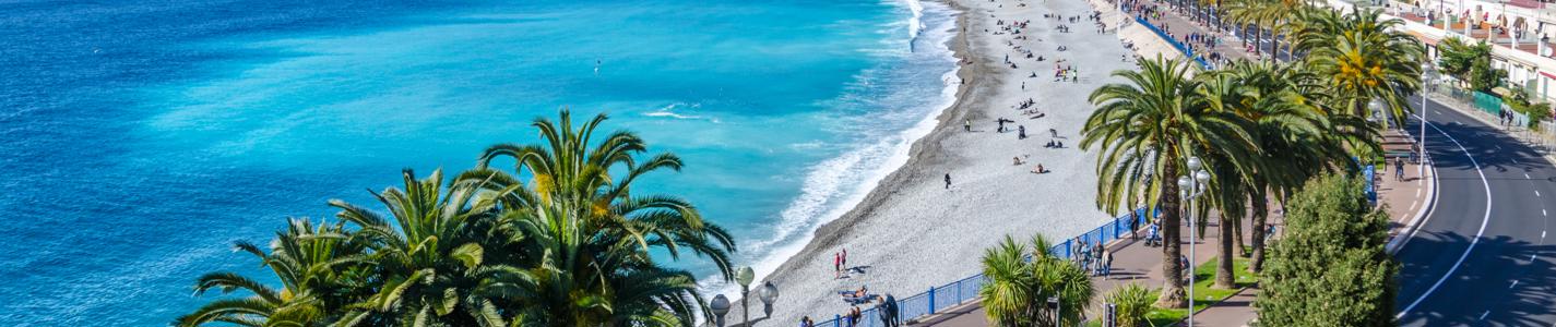


The outstanding growth industry of tourism—supplementing business, professional, and student travel—brings employment and foreign exchange to many Europeans, especially in the Mediterranean countries, with their combination of sunshine, beaches, scenery, and historical monuments. The world-renowned cities of Europe attract large numbers of tourists as well. In fact, European countries are consistently among the top tourist destinations of the world; they draw visitors from within Europe as well as from other continents.
Roads
Expressways (the autobahns) were first planned in Germany in the 1930s. Other European countries, including the Netherlands and France, constructed expressways in the mid-20th century as well. Throughout much of Europe today a network of high-speed, limited-access highways provides fast movement for commerce and travel. Road tunnels supplement railway tunnels beneath the Alpine passes.
Railways
Railways link European ports with their hinterlands and fan out from capitals and major cities to points on the international frontiers, where they meet the railway systems of their neighbours. In some cases—notably from France to Spain and from Belarus and Ukraine to Poland and Slovakia—this has involved a change of gauge. Countries, notably Spain, have responded to the problem of varying gauges by adopting the standard European gauge, building mixed-gauge tracks, and using systems that allow a train’s wheels to be adjusted to fit different gauges. Railways permit passage between the western and eastern European extremities but not quite to the extreme north; they also have lost some of their passengers and freight to the automobile, coach, and truck, and many uneconomic local lines have been closed. Even so, rail services have notably improved with the use of electrified track or diesel locomotives, faster intercity passenger trains, and container freight trains. An integrated network of very fast passenger trains—notably the French TGV (trains à grande vitesse, “high-speed trains”)—has developed in western and central Europe, led by early developments in France, Italy, and Spain and integrated with the Channel Tunnel, the rail tunnel under the English Channel. Railways remain all-important in Russia and the other republics of the former Soviet Union. In addition, underground railways (subways), streetcar systems, and suburban railways play an indispensable role for metropolitan commuters across Europe.
Waterways and pipelines
Seaports have been modernized and enlarged to deal efficiently with the increased size of ships and volume of oceanic trade. Even landlocked Switzerland has seagoing ships that use Dutch port facilities. The United Kingdom, Norway, and Greece also hold large freighter tonnages for hire.
Inland waterway transport, slow but cheap, is regionally important for the carriage of heavy and bulky commodities. The best waterways—the Rhine below Rheinfelden (Switzerland) and the Danube below Belgrade (Serbia)—can carry 1,500-ton barges. The navigable Rhine has the legal status of an international waterway open to all users. Other rivers and canals are usable by smaller vessels. The Volga is a valuable waterway linking Moscow with Caspian ports and, via the Volga-Don Shipping Canal, gives water access to the Donets Basin.
Giant tankers, up to and beyond 300,000 gross registered tonnage and too deep in draught for most seaports, deliver their cargoes by pipelines that—for petroleum, natural gas, and water—provide the cheapest overland form of transport. They have been built in the United Kingdom for North Sea gas and oil; in France, Spain, and Italy for North African oil; and within and beyond Russia and Ukraine, where crude oil and natural gas are carried by pipeline to many European customers.
Airways
Air services between principal European cities and to all parts of the world are extensively organized. Airports at London, Frankfurt am Main, Paris, Madrid, Amsterdam, Munich, and Rome are among the busiest facilities. Passengers, mail, and commodities of high value in relation to their weight—such as diamonds and early spring flowers—make use of air transport.
Animal transport
Animal transport has minimal importance yet survives locally, often appealing to visitors from more prosperous regions, where the simple technology disappeared long ago. The horse-drawn cart may still be seen in east-central Europe, and the ox-drawn plow and the loaded ass, mule, and donkey—affordable and sure-footed in rough, hilly country—are still used in parts of southern Europe. In regions with long, snowy winters such as northern Russia and Scandinavia, sleds drawn by dogs or reindeer may be used.
Climate
Europe lies mainly in the temperate climate zones, being subjected to prevailing westerlies. The climate is milder in comparison to other areas of the same latitude around the globe due to the influence of the Gulf Stream.[235] The Gulf Stream is nicknamed "Europe's central heating", because it makes Europe's climate warmer and wetter than it would otherwise be. The Gulf Stream not only carries warm water to Europe's coast but also warms up the prevailing westerly winds that blow across the continent from the Atlantic Ocean.
Therefore, the average temperature throughout the year of Aveiro is 16 °C (61 °F), while it is only 13 °C (55 °F) in New York City which is almost on the same latitude, bordering the same ocean. Berlin, Germany; Calgary, Canada; and Irkutsk, in far south-eastern Russia, lie on around the same latitude; January temperatures in Berlin average around 8 °C (14 °F) higher than those in Calgary and they are almost 22 °C (40 °F) higher than average temperatures in Irkutsk.[235]
The large water masses of the Mediterranean Sea, which equalise the temperatures on an annual and daily average, are also of particular importance. The water of the Mediterranean extends from the Sahara desert to the Alpine arc in its northernmost part of the Adriatic Sea near Trieste.[236]
In general, Europe is not just colder towards the north compared to the south, but it also gets colder from the west towards the east. The climate is more oceanic in the west and less so in the east. This can be illustrated by the following table of average temperatures at locations roughly following the 64th, 60th, 55th, 50th, 45th and 40th latitudes. None of them is located at high altitude; most of them are close to the sea. (location, approximate latitude and longitude, coldest month average, hottest month average and annual average temperatures in degrees C